

Many datapoints. One single system.
Atlantica is the operating system for Italian real estate. Map, Market, Terminal and Portfolio share a unified data model — ensuring consistent information, eliminating discrepancies between sources, and one single answer to every query, no matter where you start.
01 · Map
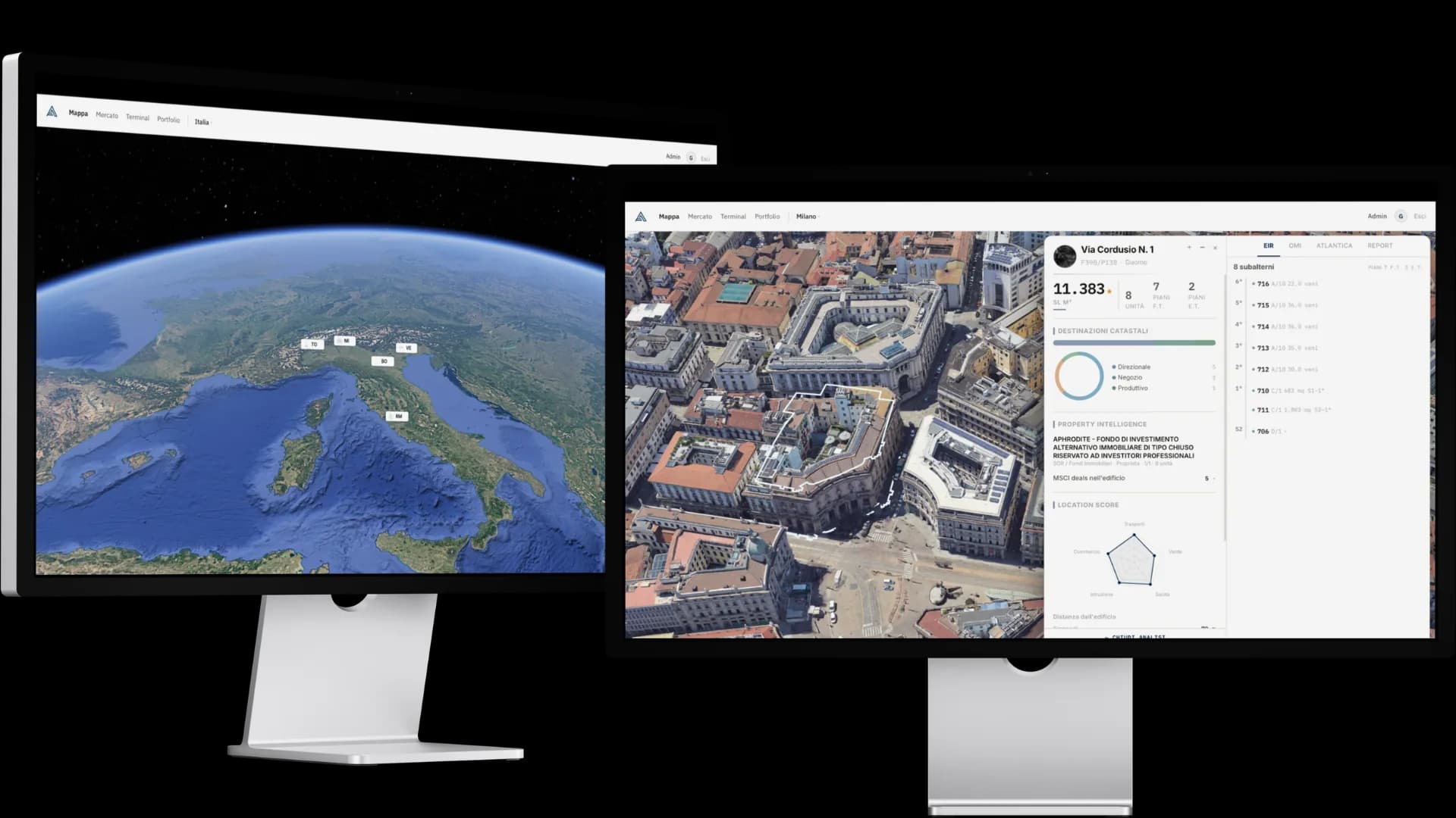
The photorealistic representation of the Italian land registry.
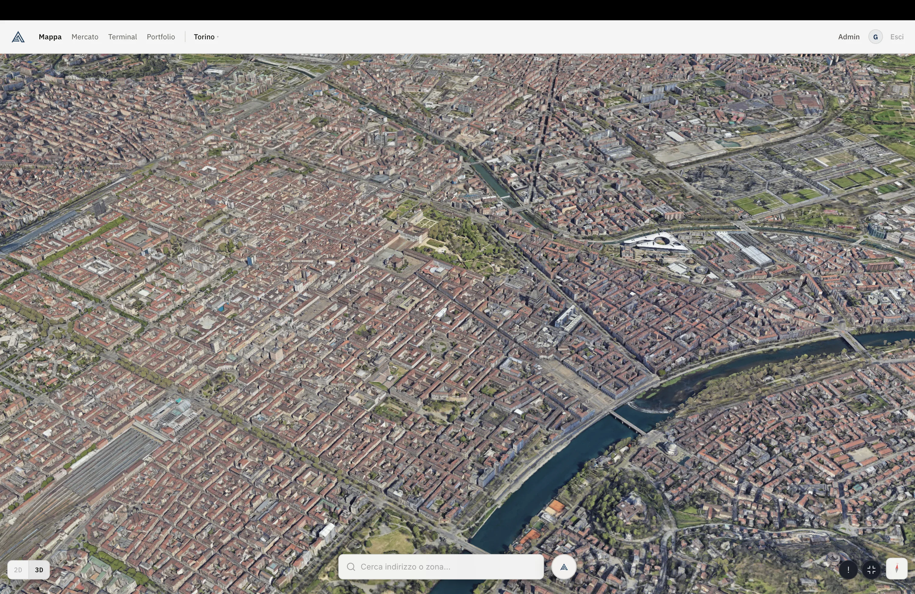
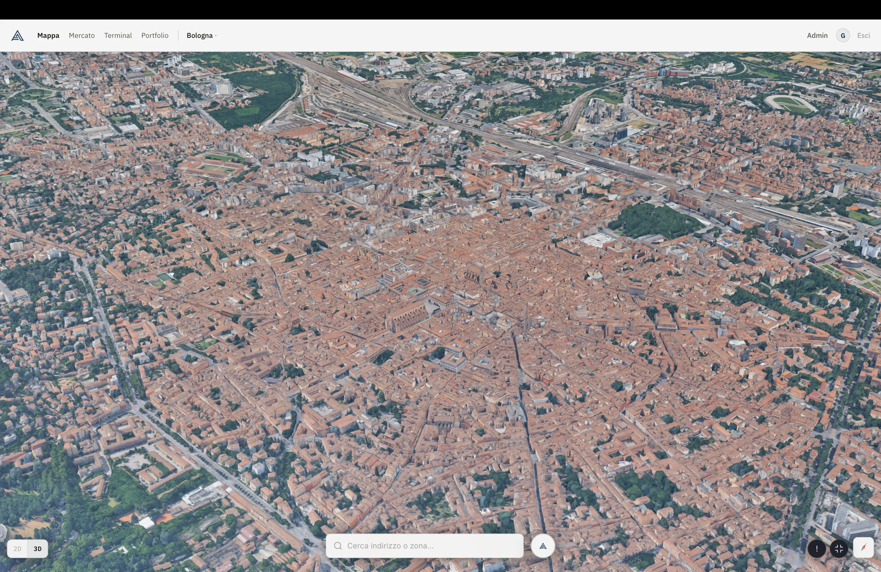
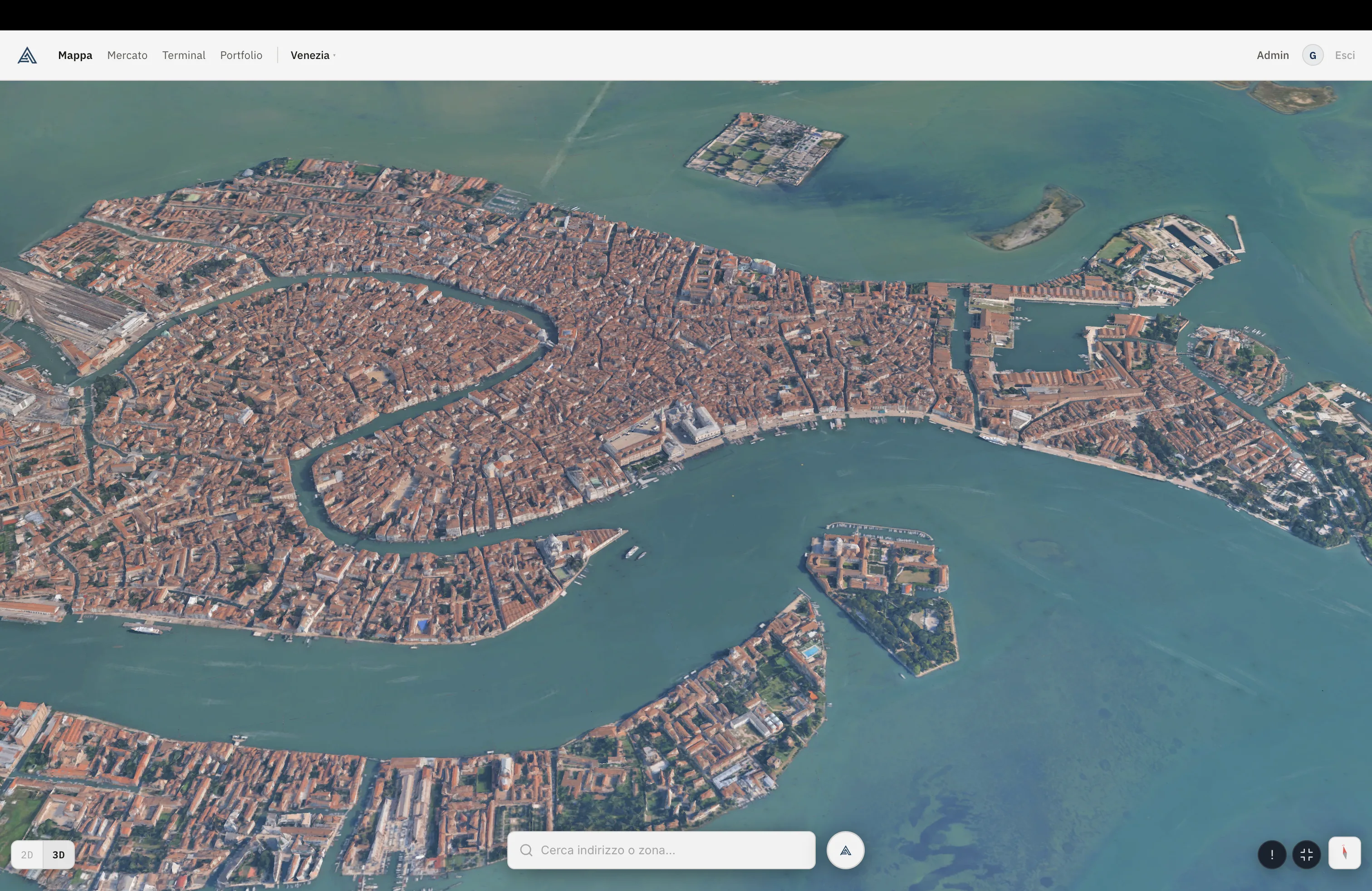
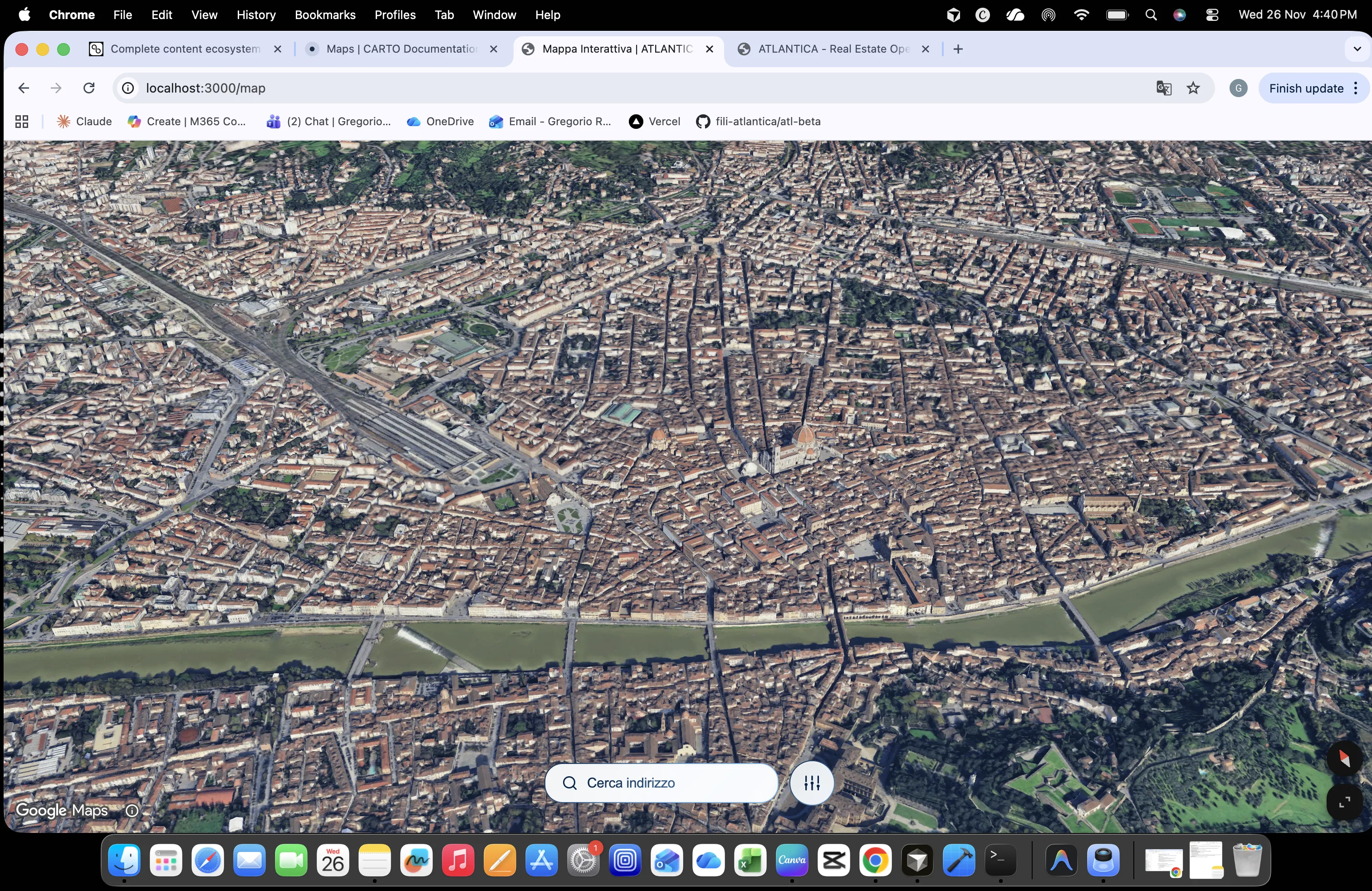
Five Italian cities in Google 3D Photorealistic Tiles, with every building linked to the land registry through the Sister agreement. A single click opens the full information stack: gross floor area, units, permitted uses, ownership, location score. No need to navigate between different portals and switch operating environment.
Four scales, one workflow
From Italy to the single parcel.
One interface enables analysis across four levels: • National → market and coverage overview, • City → photorealistic 3D urban model, • Zone → constraints, OMI bands, territorial layers, • Building → full access to property intelligence.
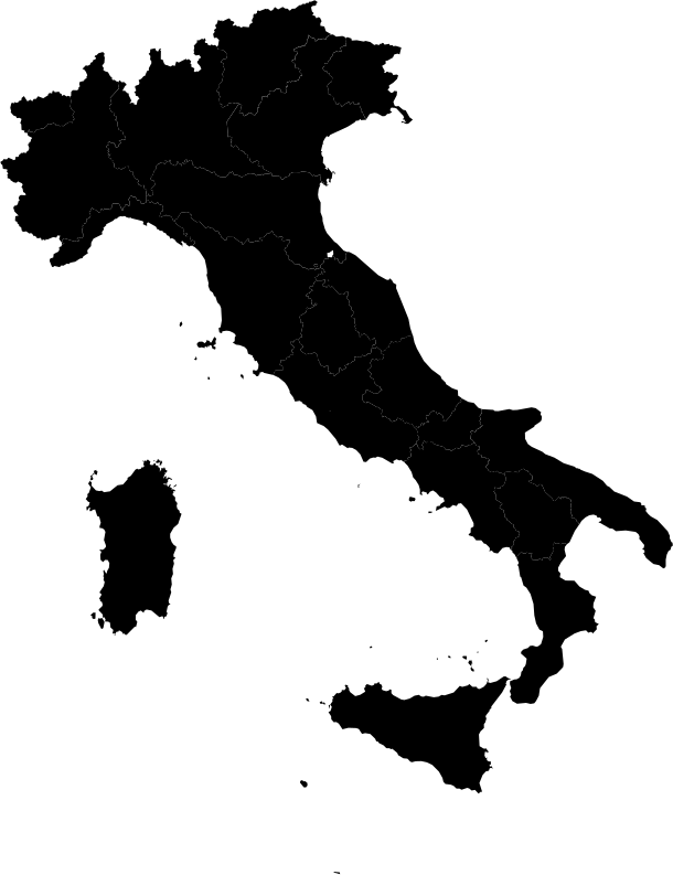
Italy in 3D with beta-city pins
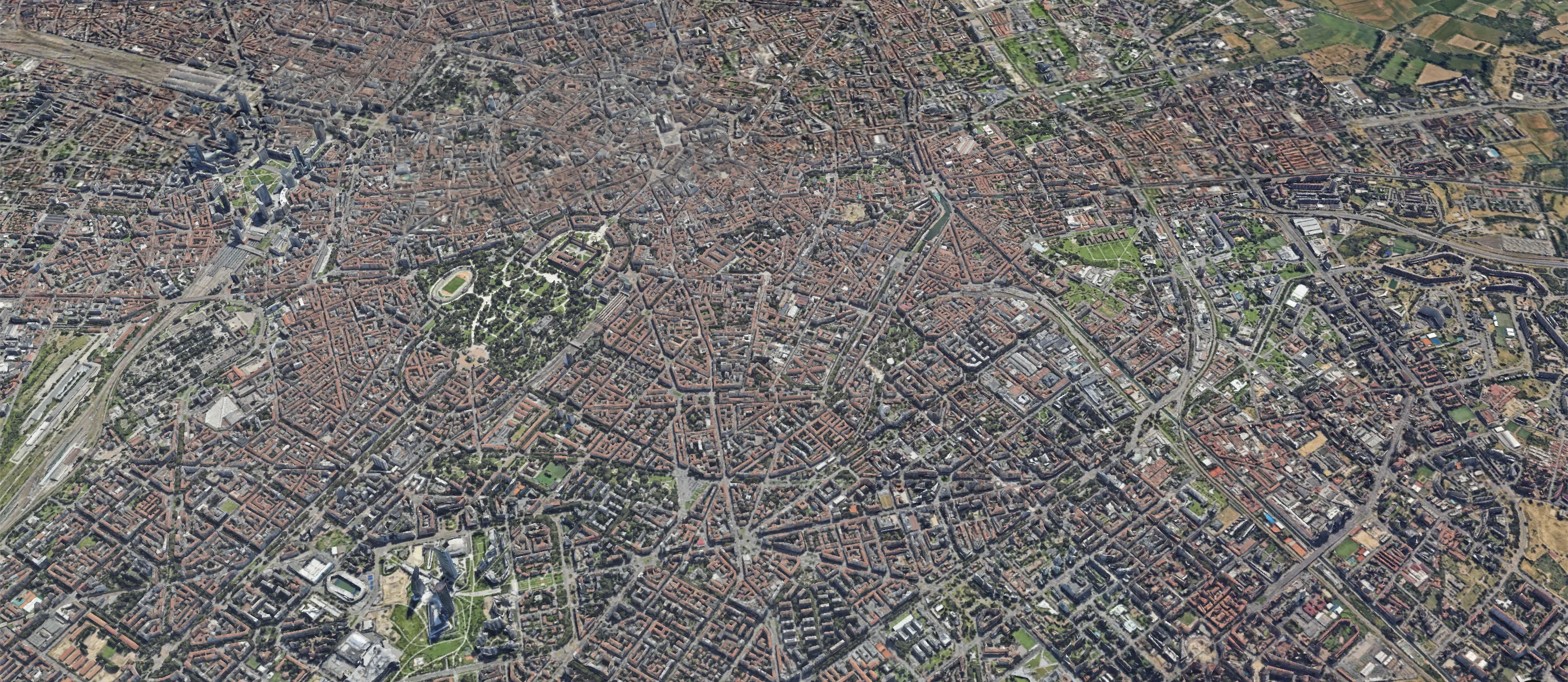
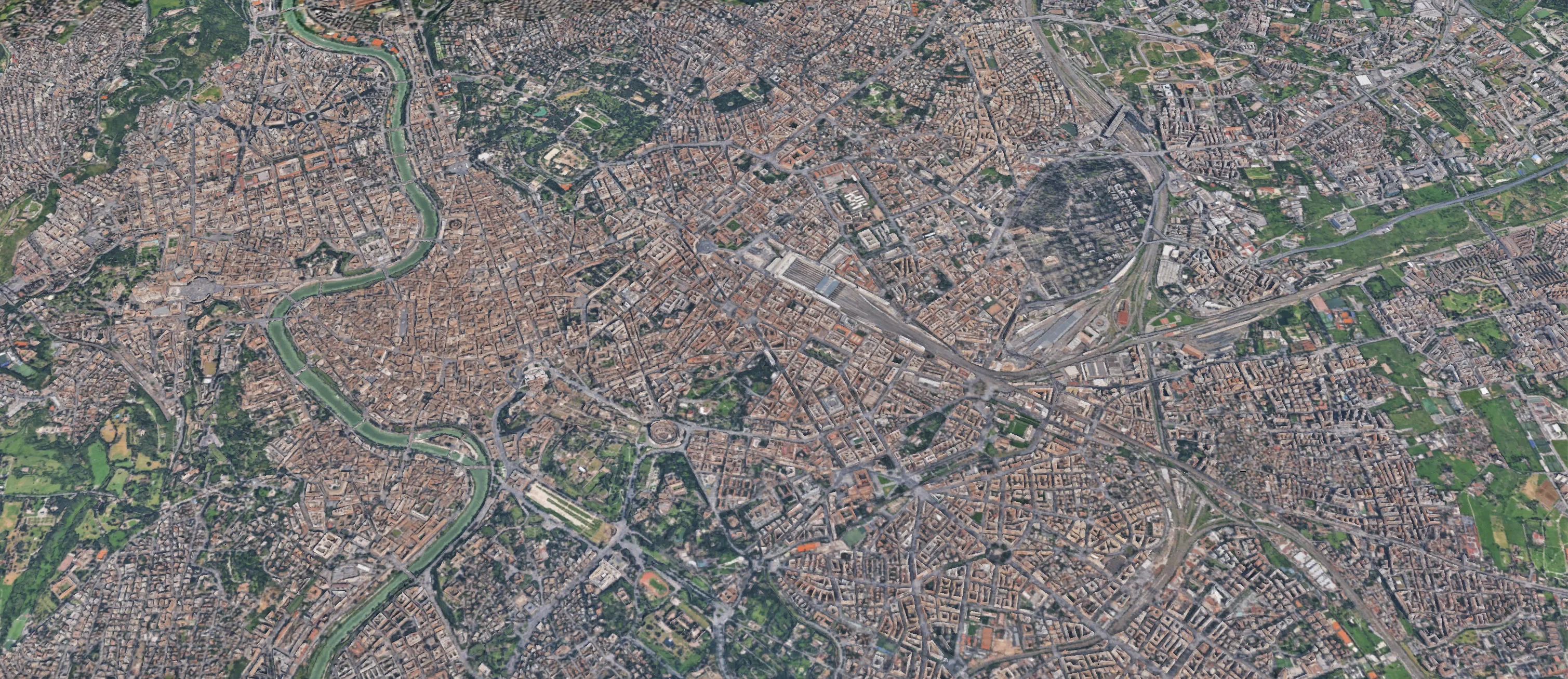
Photorealistic skylines · 3D Tiles
Constraints, OMI bands, territorial layers
Complete property intelligence
Realistic visualisation of the urban fabric via Google 3D Tiles. Fluid navigation and native 2D/3D toggle.
Direct building selection with automatic opening of the property card containing: GFA m², units, floors, cadastral uses, cadastral income, property intelligence, location score.
Direct access to official cadastral data: sheet, parcel, sub-unit, cadastral income. Updated via the Sister agreement with the Italian Revenue Agency. No scraping — certified access.
Composite indicator based on five dimensions: transport, urban green space, healthcare, education, retail. Replicable methodology, integrable into quantitative models.
Property Intelligence · anatomy
One click. Six information layers, instantly.
The property card combines six structured layers of information, updated and exportable:
- 01Cadastral records
Full address and cadastral identifiers (sheet/parcel/sub-unit). Direct source.
- 02Dimensional metrics
Gross floor area, number of cadastral units, floor distribution (above/below ground). Standardised at national scale.
- 03Permitted uses
% distribution by category (office, retail, industrial, residential). Interactive, analysable output.
- 04Owner identification
Identified cadastral title holder (fund manager, fund, company, private). Institutional deal history on the building, where present.
- 05Location Score
Spatial analysis across 5 dimensions (transport, urban green space, healthcare, education, retail) plus metric distances from POIs.
- 06Commercial activities
Mapping of ground-floor businesses: categorisation, traceability, integration with urban-context dynamics.
- Office5
- Retail2
- Industrial1
- Transport70 m
- Green space405 m
- Healthcare71 m
- Education179 m
- Retail71 m
Coverage
Five active cities. Scalable pipeline.
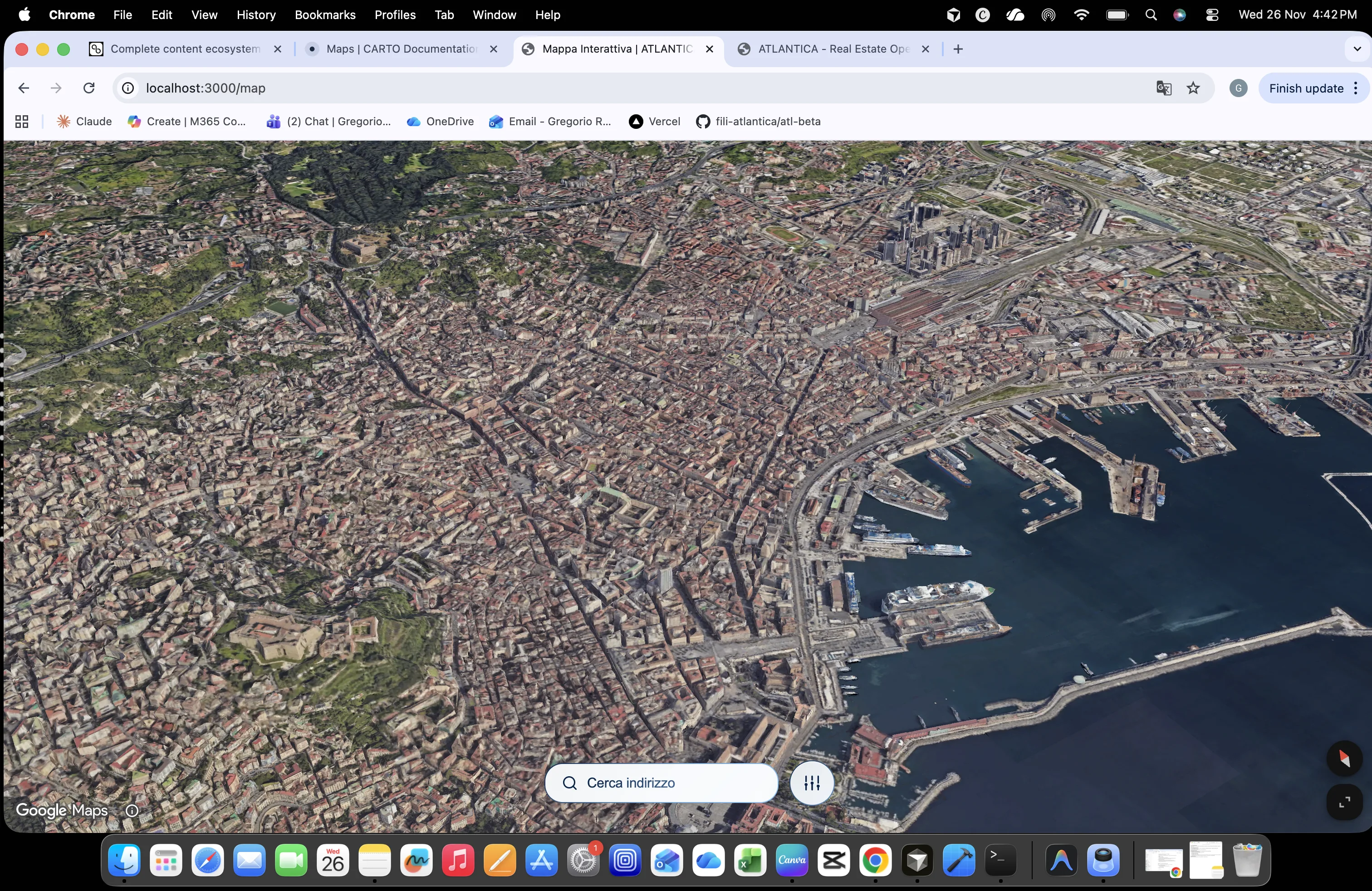
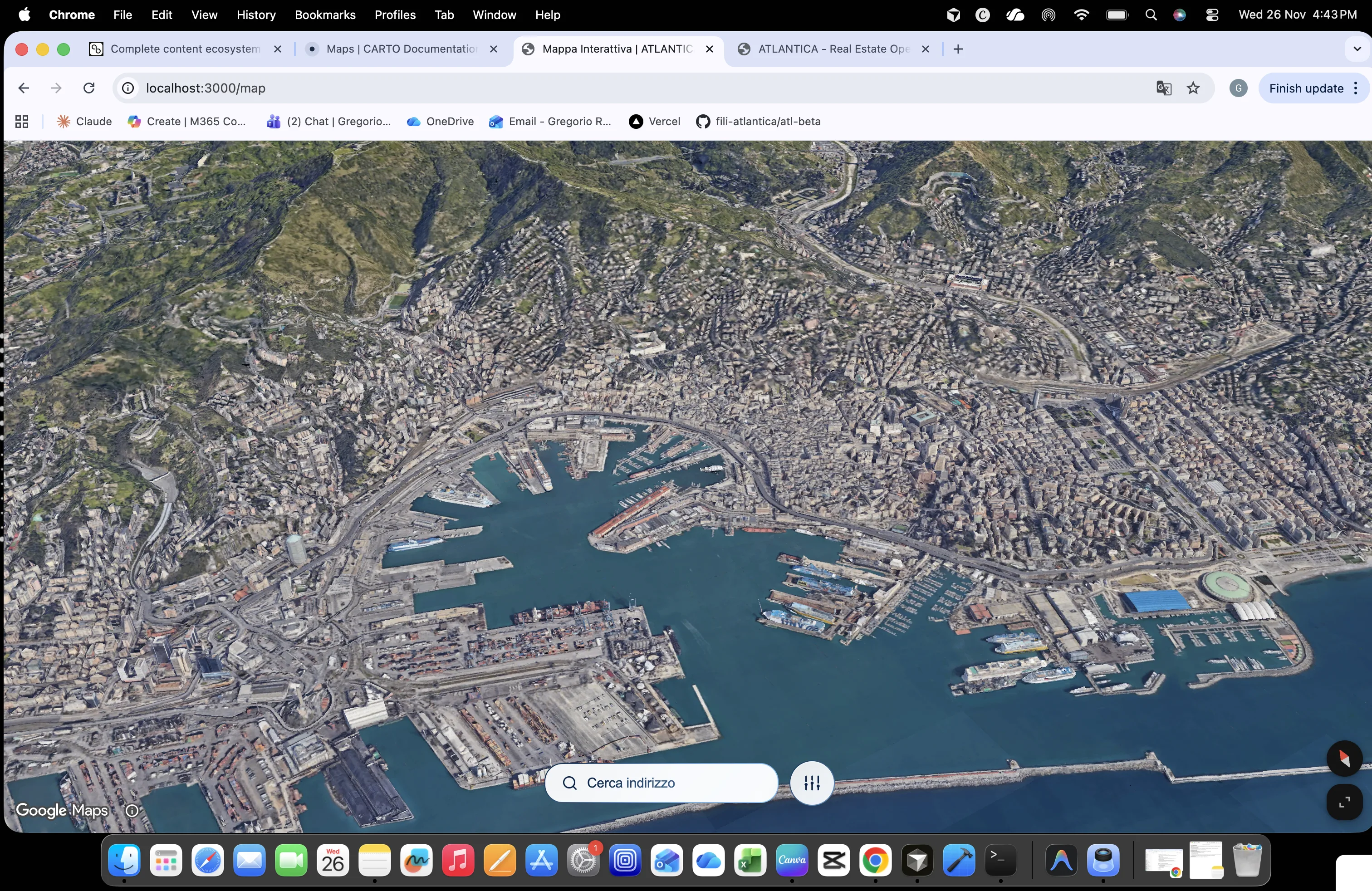
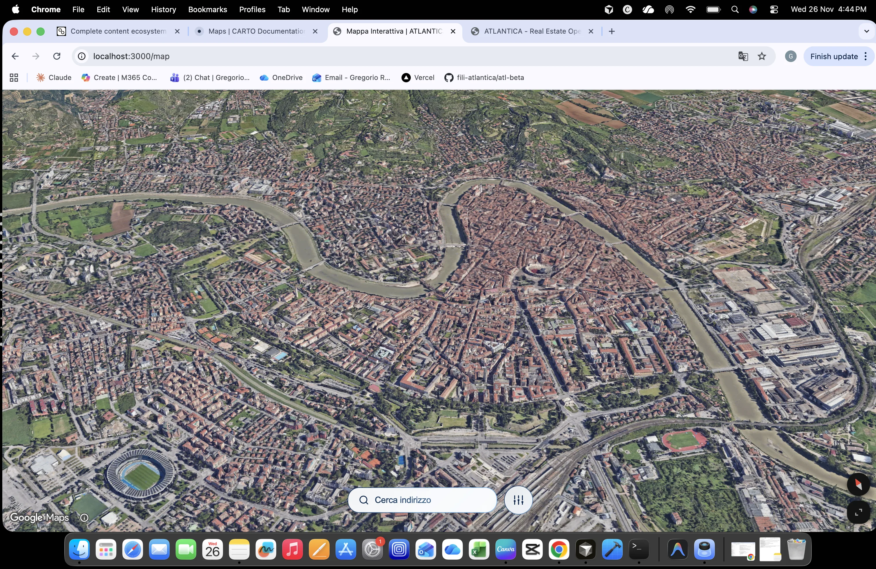
The data model is location-agnostic: expansion happens by extending the data pipeline, not by building new product. Milan, Rome, Turin, Bologna and Venice are in live beta. Florence, Naples, Genoa and Verona are rolling out over the coming quarters.
Map · FAQ
Questions about the Map.
Google Maps Platform with 3D Photorealistic Tiles — the same technology that powers Google Earth. Every building is a real photogrammetric model, not a stylised reconstruction. Native 2D/3D toggle.
Milan and Rome with full coverage. Turin, Bologna and Venice in live beta. Florence, Naples, Genoa and Verona rolling out between Q2 and Q4 2026. The data model is location-agnostic: expansion happens through data-pipeline extensions.
Yes. Every cadastral parcel is queryable. Example: Milan → over 130,000 parcels queryable via Sister. Each selection returns gross floor area, number of units, floors, permitted uses, cadastral income, property intelligence and location score.
A proprietary index based on five dimensions — transport (metro, tram, train), urban green space, healthcare, education, retail. Each dimension is based on certified public data (OSM, Istat, Ministry of Health, MIUR) and is replicable. Exportable as a feature vector for custom integrations.
Average update within 24 hours, depending on Sister flows and official registration times.